 The site has got a new section - INTERACTIVE MAPS
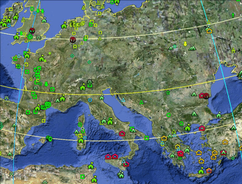
This section contains maps visually displaying information associated with a variety of historic sites. Now you can see where exactly is he a historical object, determine its location relative to other objects and make a click to get full information about it. Nazca geoglyphs 3D map allows to consider them in their entirety and to assess the true extent of this phenomenon. To view the maps on your computer must have a Google Earth plug-in. It could be downloaded directly from the interactive map, or automatically install it by clicking on "run". By installing a plug-in Google Earth, you can learn right from your browser geodata in 3D including the view "Earth" of Google Maps.
|