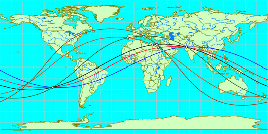
 Alfred Watkins, who discovered the ley lines in England, laid the beginning for the new direction of research related to the geographical location of historic objects. He noted that the various historic structures, megaliths, burial mounds, temples and other holy places lie on the straight lines and form a complex system, like a spider's web.
For Watkins, the concept of a system of straight lines connecting the points of the ancient, landscape was something much more than just a game of imagination. The hard work of compiling maps for the Military Surveyor, and field observations convinced him that "special place" of ancient Britain were actually located along straight lines. The work of Watkins about leis , as he called these lines, caused small sensation when it appeared in book form, entitled "An old straight path," in 1925. Contemporary research of lees in Britain led Paul Devereux, who became editor in chief of the English periodical, "Ley Hunter" in 1976. Read more... Alfred Watkins, who discovered the ley lines in England, laid the beginning for the new direction of research related to the geographical location of historic objects. He noted that the various historic structures, megaliths, burial mounds, temples and other holy places lie on the straight lines and form a complex system, like a spider's web.
For Watkins, the concept of a system of straight lines connecting the points of the ancient, landscape was something much more than just a game of imagination. The hard work of compiling maps for the Military Surveyor, and field observations convinced him that "special place" of ancient Britain were actually located along straight lines. The work of Watkins about leis , as he called these lines, caused small sensation when it appeared in book form, entitled "An old straight path," in 1925. Contemporary research of lees in Britain led Paul Devereux, who became editor in chief of the English periodical, "Ley Hunter" in 1976. Read more...
|